Wednesday, June 29, 2016
Esri Rolls Out Green Infrastructure Mapping Effort
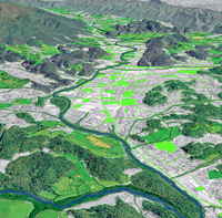
 Redlands-based geographical information systems (GIS) software developer Esri says it has rolled out a new set of tools, specifically aimed at "green" infrastructure planning. According to Esri, it has partnered with the National Geographic Society, on tools that help U.S. communities map out open space, wildlife habitats, parks, and other natural areas, to help them identify, protect, and connect those spaces. Esri said the core of that new effort is a national map which depicts every intact natural area greater than 100 acres, regardless of ownership or preservation status.